By Phillip Benningfield
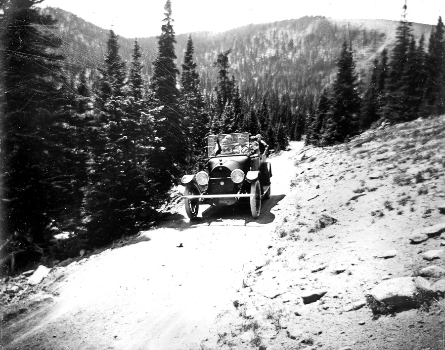
So often we are stuck on the paved roads, busy highways, four-way stops; relegated to the same path, or in too much of a hurry to get to the next stop. Here’s an novel idea: sit back, roll down the windows, cruise slowly and play “Lowrider” on the 8-track while your passenger drinks a tasty libation.
Colorado is overflowing with perfectly safe, absolutely serene, and kinda smooth back roads. These well-maintained dirt roads do not require anything more than a passenger car and the will to see all the vast hidden lands at a nice low-rider speed.

Your trip from small town to even smaller hamlet will definitely take twice as long, yet not entirely due to the slow speed you drive. You will be offered far more places to sightsee, watch a hawk, eat lunch on a pass meadow, see ramshackle historical buildings, or check out a couple of seldom trodden trails.
Carnero Pass (Saquache) is probably the least traveled route that I have witnessed as a fairly avid back road aficionado. I have driven or ridden a bike on this road for hours and seen less than a handful of cars (no motorcycles or ATVs). The choices for camping, hiking, biking or driving down even-more obscure – and maybe a little rougher – side excursions is nearly endless. Start off of State Highway 114 west of Saquache and take County Road 41G to the south. The first few miles are flat winding pastureland with rock walls topping the canyons to higher mesas. The pass at 10,166’ is really nothing special, thick pines and no vista, but a short distance down offers open park viewing, hoodoo rock formations and the Carnero Guard Station (a great place to rent and have a party fit for you and a dozen of your closest friends). The road winds down and through the “gates of the canyon” a stunning basalt wall. Have a sandwich and soda at the La Garita store before hitting high speeds. If 41G is not obscure enough for you, simply take FR675 to Moon Pass and beyond.
Cochetopa Pass (Saquache)
A western cousin of Carnero Pass filled with stark contrasts! Locate Saquache County Road NN14 a couple of miles west of 41G off of highway 114. The most attractive contrasts are the open range, bare Cochetopa Dome and the Cochetopa State Wildlife Area (a rich wetland stretching for miles below the desiccated hillsides). As if these beautiful sights are not enough, the Colorado Trail crosses the road just west of Cochetopa Pass (10,067’). From highway 114 head west up, up, up through a tight, winding canyon to the pine and aspen covered mountains and scattered rock walls. The top of the pass has an information marker and makes for a good, cool picnic spot. To get the most out of the drive, choose the peak of aspen season. The enticing western views beckon you (take FR787 to the south and camp at Stone Cellar Campground, or better yet Road KK14 up and over Los Pinos Pass towards Lake City) to enjoy one of the best aspen drives!
Cumberland Pass (Pitkin) is the highest drive and connects Pitkin with the mountain hamlet of Tincup. Be warned, as with any popular summertime attraction or area, this road gets more ATV traffic than a bluegrass festival gets hippies! Choose your travel time wisely and go mid-week or at the end of summer into aspen-viewing season. This road gets up close and personal with higher peaks like Fairview and Fitzpatrick Peaks just west of the Continental Divide. Start in Pitkin (northeast from US Highway 50 at Parlin) or simply make a longer drive by combining the Black Sage and Waunita Pass drive into an all-day outing. This way you can venture over three passes and get fully submerged in Colorado’s quiet mountains. Start by heading north on FR888 towards Whitepine at the western edge of Monarch Pass just a mile or so east of Sargeants. Wind up the ox-bowed Tomichi Creek towards White Pine, then west on FR887. The road definitively climbs to Black Sage Pass then opens into a stunning view of Tomichi Dome, distant Waunita Hot Springs and rolling mountain meadows filled with wildflowers. Continue west on CR763 over Waunita Pass and through endless aspen groves to Pitkin: a limited but sufficient refueling spot before tackling Cumberland Pass at 12,000’. Take FR765 slowly along North Quartz Creek until hitting the windy and wide-open pass. Bring a camera! After soaking up the highlands head to Tincup and enjoy a late lunch or quick snack.
Black Mountain Loop (Guffey)
This loop encompasses more open range with bucolic backdrops and distant mountain range views than should be allowed. Ranches stretch as far as the eye can see! Start in Salida and head up CR175 into Fremont County (past the turn to Turret) and around Cameron Mountain. CR175 changes to Fremont Country Road 2 and continue east into the ranches and parks. Stay on CR2 through Gribbels and Poncha Park, stunning parks filled with pastoral settings in the high desert of Colorado. All the while Black Mountain looms above the rolling pastures and sage covered hills. Past Poncha Park you are offered more dirt roads to the north or the smooth option of going to highway 9. Try CR2A to the north then hit FR107 and make your way through the labyrinth of undeveloped housing roads back to CR53 (you are south of Hartsel). Head back south on CR53 past Agate Mountain, seemingly alive with talus and grass waves. This loop is only a tiny sample of the nearly 250 square- mile park expanse and fun back roads east of Aspen Ridge, south of Hartsel, west of Guffey and north of Cotopaxi.
Phillip Benningfield just came out with a new Colorado bouldering guide and will be publishing “The Dark Roast (Coffeeshop Confidential)” this Christmas.