Article and photos by Kenneth Jessen
Located west of Granite, Colorado, is the Lost Canyon Placer, with its two remaining cabins on the north side of County Road 398 and a creek on the south side. To get to Lost Canyon requires heading west past the Granite Cemetery and the site of Cache Creek. The road begins to climb through an aspen forest in a little less than three miles from Granite. A series of switchbacks brings the road into the canyon proper. Almost all of the way to the first cabin the road is relatively smooth. Beyond this point, it may require a high-ground clearance vehicle.
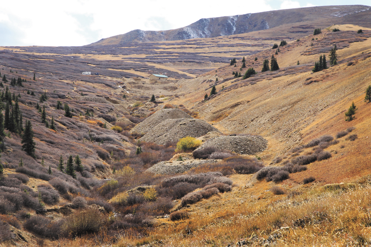
Obvious signs of placer mining are in the creek bed, such as the remains of a small dam used to provide enough water for sluice boxes. The area is strewn with debris including pieces of pipe. Several modern trucks sit along the creek bed, and the entire drainage below the road is posted.
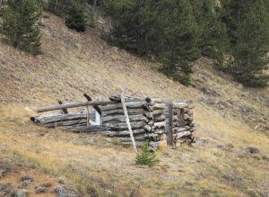
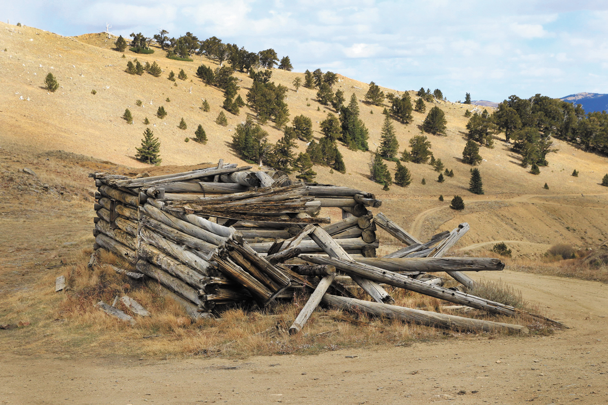
The first cabin is at an elevation of over 11,500 feet. The second cabin is a little less than a half-mile farther at over 11,700 feet. Both are quite photogenic and there is a pull off at each cabin. From the second cabin, Twin Lakes can be seen far below.
Farther up the canyon the county road ends at a modern mine with a steel building. Below this mine are large piles of waste rock that have been processed. A secondary road at the upper cabin continues across the side of the mountain to the ridge line. There is the ruin of a large cabin at 12,475 feet.
[InContentAdTwo] According to Perry Eberhart in his Guide to the Colorado Ghost Towns and Mining Camps, in 1860 a group of prospectors on their way back to Gunnison became lost. They were apparently more interested in finding gold than in finding their way home. They discovered nuggets the size of eggs, and according to the story, took out thousands of dollars in a few short weeks. The prospectors returned the following spring, but could not find the location of their discovery. The place became known as Lost Canyon, and placer mining started in earnest during the 1880s. Obviously, from recent activity, mining continues today.
Loveland resident Ken Jessen is always looking for new Colorado ghost towns to add to his list of 1,600 and counting!