Museums of Central Colorado: The San Luis Valley Museum

The Pioneer Schoolroom at the San Luis Valley Museum.

By Joyce Gunn

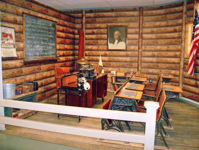
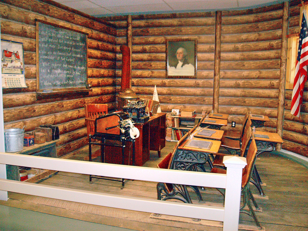
The San Luis Valley Museum is located in Alamosa, across the street from the fire department, at 401 Hunt Avenue. On the north side of the building is a mural depicting 96 or so images of various sites in the Valley as well as many of the people who had an impact on the Valley’s history. Stop by and we’ll be happy to give you an informational guide to the mural.

Read more

Places: Droney Gulch State Wildlife Area

Photos and article by Mike Rosso

Folks who drive U.S. Highway 285 from Poncha Springs to Buena Vista have passed by the interpretive sign on the west side of the highway titled “Christmas 1806.” It describes Zebulon Pike’s expedition as it passed through the Upper Arkansas Valley and how the hunting party shot eight buffalo and feasted on Christmas Day near the mouth of Squaw Creek, a half mile to the south. The following day the party camped at Big Bend along the Arkansas River.

Read more

Reviews – Plight of the Dam’d Rascals

Plight of the Dam’d Rascals By Tom Rollings 178 pages, Dog Ear Publishing 2014 ISBN: 978-1-4575-2950-4 Reviewed by Forrest Whitman Literally thousands of books and articles have been written about the Zebulon Pike Expedition of 1806-1807. The expedition is especially interesting to readers from Central Colorado, since many of the dramatic events on Pike’s long …

Read more

Colorado Forts – Historic Outposts on the Wild Frontier

By Jolie Anderson Gallagher

Editor’s note: The following excerpt is the first chapter from a new book: Colorado Forts, published by The History Press, Charleston, SC, ISBN #978.1.60949.660.9.

Contested Borders (1806–1822)

At the turn of the nineteenth century, the fledgling United States hungered for new territory. To the west of the Mississippi lay uncharted and unpopulated terrain of striking contrasts: towering mountain ranges, expansive plains and verdant valleys. Yet that wide swath of land was alternately claimed by the British, Spanish and French. In a political topography defined by competing interests and contested borders, European nations stood in the way of America’s desire to extend its influence across the continent.

Americans eyed the Louisiana Territory, 828,000 square miles stretching from the port of New Orleans up through the Mississippi basin, to the eastern edge of the Rocky Mountains. Spain had claimed that land in 1800 but had agreed to transfer portions to France in a treaty. Their negotiations dragged on for years, and before the two nations could settle the details, an impatient Napoleon Bonaparte slapped a For Sale sign on the territory. Desperate for cash, Napoleon offered it to the United States for a bargain: a mere $15 million (three cents an acre). President Thomas Jefferson readily accepted Napoleon’s offer, effectively doubling the size of the country. In the process, he made an enemy of Spain.

Read more