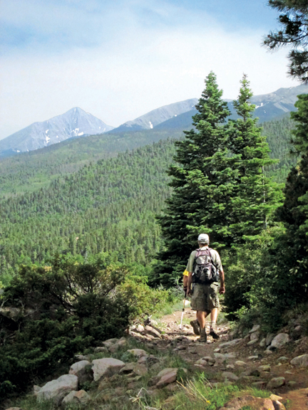
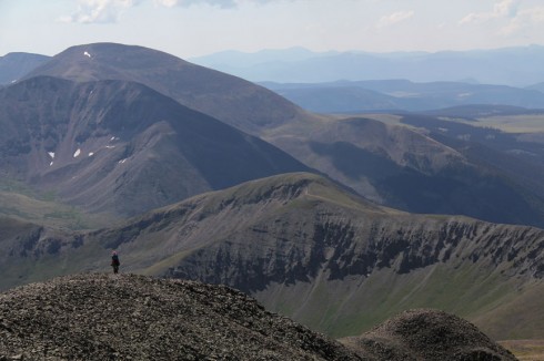
John Mattingly: Wild Cherry Creek

In the northern San Luis Valley, County Road AA – known sometimes as Alanon Afterway – intersects Colorado Highway 17 about five miles south of the intersection of Highway 17 and U.S. 285. Highway 17 at Road AA is the corner of four surveying quadrangles, the northeastern of which is the Mirage Quad. Looking to the south from that point, you often see mirages rising off the flat floor of the Valley. To the west on Road AA is one access to the Saguache County Landfill, which explains why that stretch of Road AA is frequently littered with trash, blown out of untarped trucks on their way to the landfill.

Read more

places – Boss Lake

by Ericka Kastner Situated at 10,880 feet in elevation and surrounded by stunning 12,000-foot peaks, Boss Lake is an idyllic spot to spend a day in any season of the year. Initially built as a reservoir to collect snowmelt and runoff back in the 1890s, the lake has naturally decreased in storage capacity by about …

Read more

The Rainbow Trail

By Mike Rosso

The Rainbow Trail, which celebrates its 101st birthday this year, could well be seen as an allegory for the various uses and controversies surrounding Colorado forest lands over the past century.

At just over 101 miles long, it spans four counties – Saguache, Chaffee, Fremont and Custer – and ends at the Huerfano County border.

Along its length, outdoor enthusiasts can access numerous 14,000 foot peaks, including Kit Carson (14,165’) and Crestone Peak (14,294’), and over a dozen alpine lakes. The Trail has an average elevation of 9,000 feet and winds in and out of thick spruce forests and aspen groves, as well as high mountain meadows. What initially began as a foot and horseback trail is now accessible to mountain bikes, motorcycles and, for the entire stretch in Custer County, all-terrain vehicles.

Read more

Colorado Trail

by Columbine Quillen

Once, a great long while ago, a donkey named Virgil and I hiked from Denver to Buena Vista on the pristine Colorado Trail. The Colorado Trail is a 486-mile footpath that traverses the state from Denver to Durango through the rugged foothills and the Rocky Mountains. Finding myself in Colorado this summer with a couple of spare weeks and the need for solitude, I thought I would start up where I left off and walk until it was no longer an option to ignore my pending responsibilities. I went deep into the backcountry seeking solace and isolation but, surprisingly, I found a gregarious band of appealing souls that made me reconsider having only myself as company for two weeks. During a short time each year, high up in the Colorado Rockies, is a wandering band of wayfarers that keep an eye on one another and form a short-term community.

Read more

The Alpine Tunnel (and how to get there)

by Kenneth Jessen

In 1879, the Denver, South Park & Pacific railroad constructed a narrow gauge railroad from Denver up the South Platte Canyon, over Kenosha Pass and across South Park. It was a grand scheme to tap shipments to and from the mining areas, pick up agricultural products, and carry passengers on one of the most spectacular railroads ever constructed. It was also a race with the Denver & Rio Grande railroad to reach Gunnison. The Denver & Rio Grande wisely picked a rather conventional route over Marshall Pass, while the Denver, South Park & Pacific embarked on a daring scheme to drill a tunnel under the Continental Divide.

Read more