The Central Colorado region is fat with backcountry trails. From the Collegiate Range, the Sawatch, the Buffalo Peaks Wilderness Area, White River National Forest, the West Elks and much more, there is no lack of recreational opportunities for hikers, cyclists and horseback riders.
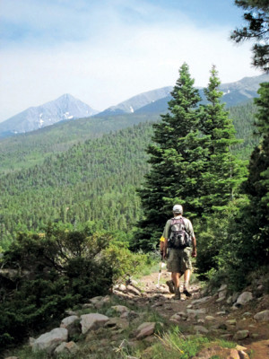
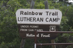
So why this month are we featuring the Rainbow Trail? Well, for one, it’s historic, having been around for over a century. It spans a large part of our coverage area, second only to the Colorado Trail. In parts, it is mostly accessible to a large percentage of the population and sees thousands of visitors each year. The Rainbow is also the closest national forest trail to my home here in Salida.
The CR 108 trailhead is literally up the road. If I step out my front door, turn left and continue walking, I will be on the trail in under five miles. The Rainbow also holds sentimental value for me as the first place I ever backpacked in Colorado.
It was 1978, and I had just moved to Colorado from back east. My friend Pete Ensminger accompanied me on the 2,000-mile trek in a 1966 Chevy Bel Air station wagon loaded down with my meager possessions. After securing a basement studio apartment in Pueblo for $95 a month, we off-loaded my stuff and purchased a map of the San Isabel National Forest.
Plotting our course, we took off west on Hwy. 96, soon cresting the Wet Mountains to behold the snowy peaks of the Sangre de Cristos. Buried deep in some file or drawer are Ektachrome slides of that moment.
I remember stopping in Westcliffe for provisions before we pointed that old Chevy up toward the peaks, ending up at North Colony Creek. Picture a couple of East Coast flatlanders, loaded down with gear in and on external-frame packs, pans clanking, canteens bursting, working our way up the steepest mountain range either of us had ever seen.
Our goal was one of the lakes, but gravity and lack of oxygen called for a change of plans. Also it was early May and the sun had already disappeared behind the mountains. Our tent arrangements were hillbilly at best – tarps draped and staked over a rope tied between two trees and a nylon hammock underneath. Pretty slick and – it turns out – utterly impractical for that season in the Rockies. At night, ferocious, chilly winds started whipping through the open-ended tents, openly mocking our Eastern naïvety.
I remember us both scrambling in the windy darkness to block the openings with anything we could find. That meant rocks. So we gathered and piled rocks, the final ones from within. I doubt I got much sleep that night but do remember waking up to the sounds of birds and the air filled with fresh pine.
We had breakfast and took off for the lake. Pete decided he’d like to tackle a fourteener, Humboldt Peak. I was under the influence of a pack-a-day habit so declined the offer to join him, breaking one of the first rules of backcountry hiking.
I made my way back to the camp, where I undoubtedly was enjoying a few Camels in the stillness of the woods when it began to get dark. There was no sign of Peter. With my flashlight, I started back up the trail to find him when darkness settled in entirely. I scurried back to the camp and lit a fire. Hunger got the better of me so I boiled up some brownish camp food, nervously awaiting his return. Panic was starting to seep in as I imagined all the worst case scenarios – avalanches, bears, local rednecks who didn’t care for bearded Easterners – when I heard a rustle in the bushes and out popped Peter.
He had bagged his peak but the ill effects of altitude sickness delayed his return. I was just pleased he didn’t perish on my watch. We ended up camping another night and then headed back to Pueblo, having experienced that incredible taste of high-mountain air, and for me – a bit humbled by the whole experience – the first of many on and over the Rainbow.
**********************
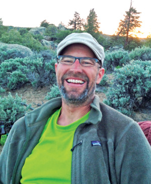
Unable to track down a stand-alone map of the Rainbow Trail, I decided to contact a Salida friend, Yvonne Barnes of Mountain Mapping, and asked her about designing one for this issue. She agreed to take on the project and did a great job. The map is in the center spread and shows all the trailheads, access points, interesting features, county boundaries, major creeks and more. Just undo the staples to remove the map, grab your water bottle and get out there and enjoy. – Mike Rosso