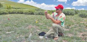
By Christopher Kolomitz
On summer days, when Central Colorado is overrun with out-of-state tourists making questionable vehicular movements, a quick escape from town into the high country is sublime.
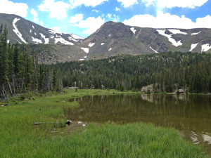
The Pass Creek Trail, west of Poncha Springs, is a fine place to stretch the legs, and on a recent summer weekend only one car was in the trailhead parking lot. The hike terminates after four miles at an elevation of 11,360 at Pass Creek Lake. If you are looking for an easy, short hike which is close to town and contains history, water, wildflowers and some classic Colorado scenery, this place is for you.
To reach the trailhead, travel two miles west on U.S. Hwy. 50 from Poncha Springs to C.R. 210 and turn left. You’ll go though the abandoned Friend Ranch development and in a little more than a mile turn right onto C.R. 212. From there it’s less than three miles to the trailhead; after a ways the road turns into a Forest Service route, so a good high-clearance vehicle is recommended.
If you are looking for an offshoot and an interesting view of the Arkansas Valley, take Forest Service road 212B which travels to the long, windblown summit of a prominent ridgeline overlooking north into the valley. Otherwise remain on Forest Service road 212 to the trailhead, and be sure to close the cattle gate.
Several years ago the Pass Creek Trail was adopted by the local Quiet Use Coalition, and work was done to prevent ATV access and damage. The trail is currently open to all forms of recreating except ATVs, although riding a motorbike or mountain bike would require expert skills on some of the rocky upper portions.
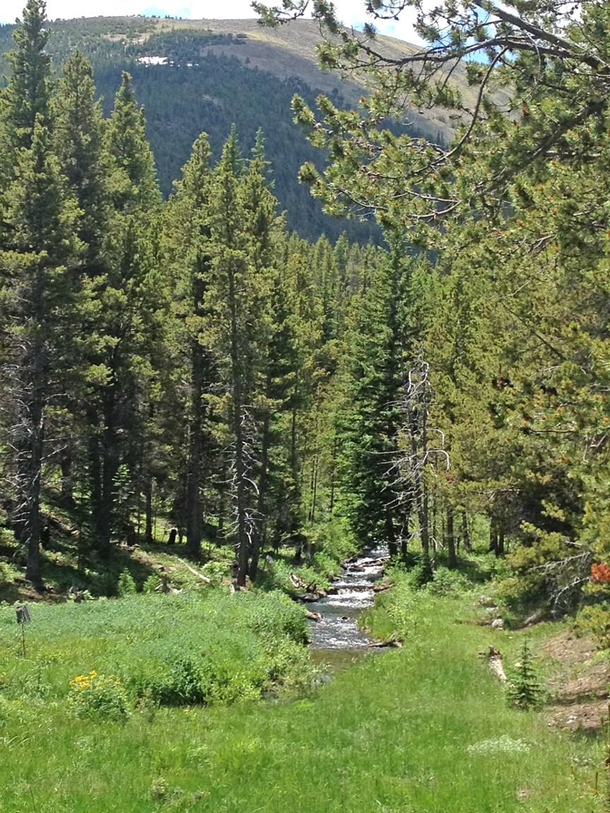
The trail begins near several mining-era structures while passing through a lush aspen forest. It’s a gentle climb and soft footing as you stroll near several beaver ponds with catchable brook trout and a few more collapsed cabins. Summer rains have nurtured wildflowers with red, blue, white and yellow blossoms. A long portion of the trail passes though a significant blow-down, where every tree is either uprooted or snapped in half from fierce winds a few winters ago.
Fishing in the lake is good and there are plenty of flat camping spots on all sides. If you’d like to continue climbing and are feeling confident about the weather and your skills, a scramble up an obvious ridge to the summit of 12,852 Chipeta Mountain is possible. On the drive out, be sure to keep an eye open for a variety of wildlife, including deer, elk, bear, fox and coyotes, as the drainage is managed for wildlife conservation.
Christopher Kolomitz is a small business owner and freelance journalist living in Salida. He likes hiking to places like Pass Creek with a backpack full of supplies, a soft camping chair and a good book.